Bwlchgwyn is one of several places claiming to be the highest village in Wales, is situated on the A525 road, 5 miles (8.0 km) west of the town of Wrexham,and has been inhabited since at least the Bronze Age when a hill fort was built there (now destroyed by quarrying). Until the 19th century the area was common land used for grazing with only a few houses. dating back to ancient times, with evidence of early human settlement in the area. The village’s name is Welsh and translates to “white pass” or “white ridge,” likely referring to the geographical features of the region. The original name for the village was Bwlchgwynt, meaning “Windy Pass”.
Like many Welsh villages, Bwlchgwyn historically had an economy based on agriculture. The community engaged in farming, with residents cultivating the land for sustenance and trade. The 18th and 19th centuries brought about significant changes to many Welsh communities due to industrialization.
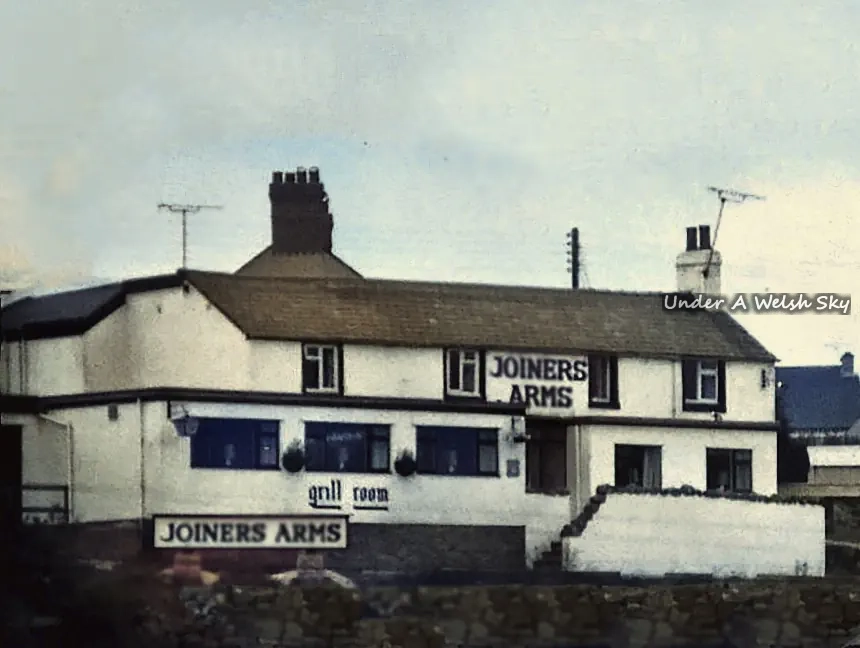
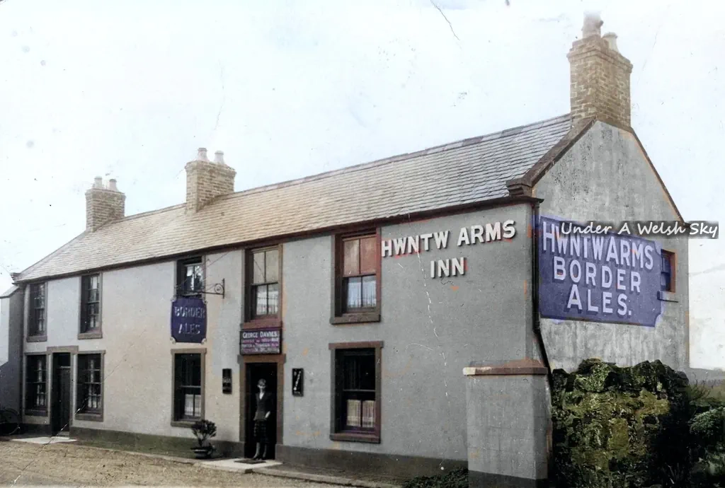
As with other villages in this area, such as Coedpoeth, Gwynfryn and Minera, the village prospered in the agricultural and industrial revolutions, benefitting from the rich deposit of silica underground. Local quarries and coal mines provided employment, and the village grew. The nearby Minera Limeworks were the largest employer in the area until it closed in the 1970s. As a result of this mining culture, several public houses opened in the area, one of which still remains – The King’s Head Inn.
Two rivers have their sources near the village: the River Gwenfro begins on the south side of the village and the Nant-y-Ffrith flows through a wooded valley to the north.